Back to Active Hurricanes
Melissa Set to Shift North of Bermuda
October 31, 2025 at 11:09 AM EDT
UPDATED by WeatherBug Meteorologists

After raging through Jamaica on Tuesday and Cuba Wednesday, Post-Tropical Cyclone Melissa is quickly pushing into the Atlantic Ocean after passing near Bermuda on Thursday.
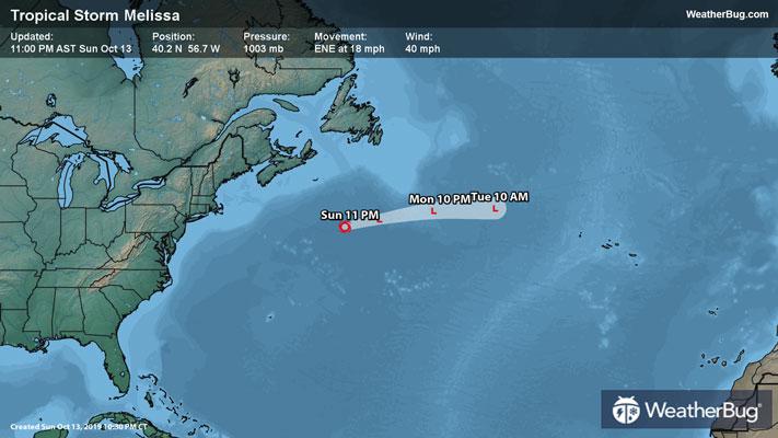
As of 11 a.m. EDT, Post-Tropical Cyclone Melissa was located near 39.0N and 60.5W, or about 520 miles north-northeast of Bermuda. Melissa is now categorized as a powerful Post-Tropical Cyclone, packing top sustained winds of 85 mph. It is moving northeast at 48 mph, with a minimum central pressure of 973 mb, or 28.74 inches of mercury.
Not nearly as strong as it was the past few days, Melissa downgrades from a hurricane to a post-tropical cyclone as it slides away from the Bahamas. It brought several inches of rain, strong winds, and a damaging storm surge to the island. Melissa is now moving away from Bermuda.
Despite passing over the warm waters of the Gulf Stream, Melissa continue to lose its tropical characteristics and merge with a cold front, deeming a downgrade to Post-Tropical Cyclone Melissa as of 11 a.m EDT. Tonight and Saturday morning will see the remnants of Melissa pass excruciatingly close to the eastern end of Newfoundland and will likely bring wind and rain to the eastern part of the island.
Melissa will go down in the record books as one of the strongest hurricanes ever to make landfall. It pierced ashore near Black River, Jamaica, on Tuesday afternoon with winds of 185 mph. Cuba then felt its wrath on Wednesday morning, although the storm was “only” a Category 2 hurricane by that point. At least 36 people have been killed between Cuba and Jamaica, although some parts of Jamaica remain unreachable at the moment.
It is important to still be prepared for hurricane season despite it being the end of October. The Atlantic hurricane season runs through November 30th. On average, there are typically two or three named storms in October, with the potential for them to reach hurricane intensity. Most storms tend to develop in the Gulf and Caribbean during October as winds increase in the central Atlantic. Despite the drop in storm frequency compared to September, the Atlantic hurricane season can remain active and dangerous throughout October and November.
The U.S. has been fortunate so far, with only Tropical Storm Chantal making landfall. It is still crucial to be prepared for impacts from a tropical system regardless. Have a “to-go” bag ready with chargers, water, food and other necessities. Also, take the time to scope out multiple evacuation routes, in case your preferred one is traffic-jammed or blocked.