10-Day Weather Forecast - Farmersville Station, NY
- |25°F50% Chance Snow ShowersHourly details
Tonight
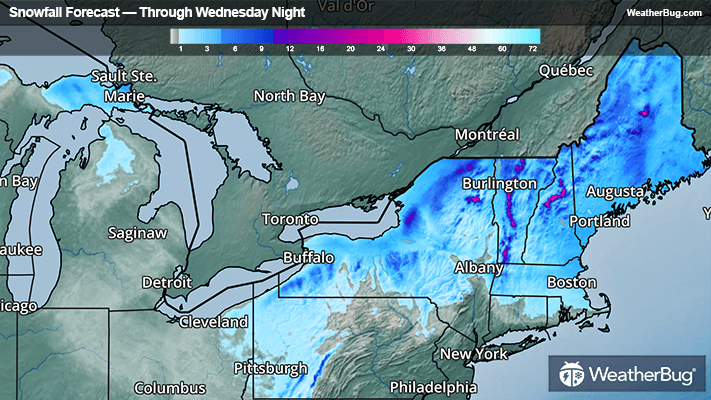
25°FCloudy. A chance of rain showers and freezing drizzle early then a chance of freezing drizzle and snow showers through the early overnight. A chance of snow showers late. Lows in the lower 20s. West winds 10 to 15 mph with gusts up to 30 mph after midnight. Chance of precipitation 50 percent.
- 24|18°F80% Chance Snow ShowersHourly details
Day
24°FSnow showers likely in the morning then lake effect snow showers in the afternoon. Additional accumulation 1 to 2 inches in the most persistent snows. Highs in the mid 20s. West winds 10 to 15 mph with gusts up to 30 mph. Chance of snow 80 percent.
Night
18°FLake effect snow showers in the evening then lake effect snow showers likely overnight. Additional accumulation 1 to 3 inches in the most persistent snows. Lows 15 to 20. Northwest winds 10 to 15 mph diminishing to 5 to 10 mph. Chance of snow 80 percent.
- 20|12°F70% Chance Snow ShowersHourly details
Day
20°FLake effect snow showers likely. Highs in the lower 20s. Northwest winds 10 mph or less. Chance of snow 70 percent.
Night
12°FMostly cloudy. A chance of snow showers in the evening. Lows 10 to 15. Light winds. Chance of snow 40 percent.
- 26|24°FMostly CloudyHourly details
Day
26°FMostly cloudy. Highs in the upper 20s. Lows in the lower 20s.
Night
24°FMostly cloudy. Highs in the upper 20s. Lows in the lower 20s.
Weekend Weather
- 31|17°FPartly SunnyHourly details
Day
31°FPartly sunny. Highs in the mid 30s.
Night
17°FPartly cloudy. Lows 15 to 20.
- 36|24°F30% Chance Snow ShowersHourly details
Day
36°FMostly cloudy with a 30 percent chance of snow showers. Highs in the mid 30s. Lows in the mid 20s.
Night
24°FMostly cloudy with a 30 percent chance of snow showers. Highs in the mid 30s. Lows in the mid 20s.
- 36|29°F30% Chance Snow ShowersHourly details
Day
36°FMostly cloudy with a 30 percent chance of snow showers. Highs in the mid 30s. Lows in the mid 20s.
Night
29°FMostly cloudy. Lows in the mid 20s. Highs in the upper 30s.
- 40|39°FMostly Cloudy
Day
40°FMostly cloudy. Lows in the mid 20s. Highs in the upper 30s.
Night
39°FCloudy. Low temperature around 39F. Dew point will be around 37F with an average humidity of 91%. Winds will be 10 mph from the S.
- 48|37°F50% Chance of Rain
Day
48°FCloudy with a chance of rain. Chance of precipitation 45%. High temperature around 48F. Dew point will be around 40F with an average humidity of 82%. Winds will be 10 mph from the SW.
Night
37°FCloudy with a chance of rain. Chance of precipitation 50%. Low temperature around 37F. Dew point will be around 36F with an average humidity of 83%. Winds will be 8 mph from the SW.
- 42|32°F40% Chance of Rain
Day
42°FCloudy with a chance of rain. Chance of precipitation 40%. High temperature around 42F. Dew point will be around 31F with an average humidity of 73%. Winds will be 5 mph from the W.
Night
32°FCloudy with a chance of rain-snow mix. Chance of precipitation 40%. Low temperature around 32F. Dew point will be around 29F with an average humidity of 81%. Winds will be 2 mph from the SE.