10-Day Weather Forecast - Swain Ski And Snowboard Center, NY
- 49|26°F70% Chance Frozen MixHourly details
Today
49°FPartly cloudy with probable rain-snow mix. Chance of precipitation 65%. High temperature around 49F. Dew point will be around 25F with an average humidity of 85%. Winds will be 9 mph from the S.
Tonight
26°FCloudy. A chance of rain showers early. A chance of snow showers after midnight. Lows in the lower 20s. Southwest winds 10 to 15 mph with gusts up to 30 mph becoming west. Chance of precipitation 50 percent.
- 25|20°F70% Chance Snow ShowersHourly details
Day
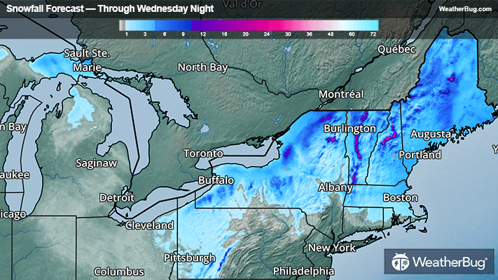
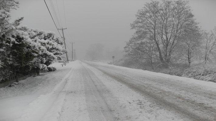
25°FA chance of snow showers in the morning then lake effect snow showers likely in the afternoon. Accumulation an inch or less. Highs ranging from the lower 20s on the hilltops to the upper 20s across the lower elevations. West winds 10 to 15 mph with gusts up to 30 mph. Chance of snow 70 percent.
Night
20°FLake effect snow showers likely in the evening then a chance of snow showers overnight. Additional accumulation up to 2 inches possible in the most persistent snows. Lows 15 to 20. Northwest winds 10 to 15 mph with gusts up to 30 mph in the evening. Chance of snow 70 percent.
- 22|13°F50% Chance Snow ShowersHourly details
Day
22°FMostly cloudy. A chance of snow showers in the morning. Cold with highs ranging from the lower 20s on the hilltops to the mid 20s across the lower elevations. Northwest winds 5 to 10 mph. Chance of snow 50 percent.
Night
13°FMostly cloudy. Lows 10 to 15. Light winds.
- 27|25°FMostly CloudyHourly details
Day
27°FMostly cloudy. Highs in the lower 30s. Lows in the lower 20s.
Night
25°FMostly cloudy. Highs in the lower 30s. Lows in the lower 20s.
Weekend Weather
- 32|17°FMostly CloudyHourly details
Day
32°FMostly cloudy. Highs in the lower 30s. Lows in the lower 20s.
Night
17°FMostly cloudy. Lows 15 to 20.
- 35|26°F30% Chance Snow ShowersHourly details
Day
35°FMostly cloudy with a 30 percent chance of snow showers. Highs in the upper 30s. Lows in the mid 20s.
Night
26°FMostly cloudy with a 30 percent chance of snow showers. Highs in the upper 30s. Lows in the mid 20s.
- 36|29°F30% Chance Snow Showers
Day
36°FMostly cloudy with a 30 percent chance of snow showers. Highs in the upper 30s. Lows in the mid 20s.
Night
29°FMostly cloudy. Lows in the mid 20s. Highs in the upper 30s.
- 43|41°FMostly Cloudy
Day
43°FMostly cloudy. Lows in the mid 20s. Highs in the upper 30s.
Night
41°FCloudy. Low temperature around 41F. Dew point will be around 39F with an average humidity of 91%. Winds will be 10 mph from the S.
- 51|39°F50% Chance of Rain
Day
51°FCloudy with a chance of rain. Chance of precipitation 45%. High temperature around 51F. Dew point will be around 42F with an average humidity of 84%. Winds will be 12 mph from the SW.
Night
39°FCloudy with a chance of rain. Chance of precipitation 45%. Low temperature around 39F. Dew point will be around 39F with an average humidity of 82%. Winds will be 9 mph from the SW.
- 44|33°F40% Chance of Rain
Day
44°FCloudy with a chance of rain. Chance of precipitation 35%. High temperature around 44F. Dew point will be around 33F with an average humidity of 74%. Winds will be 6 mph from the W.
Night
33°FCloudy with a chance of rain. Chance of precipitation 35%. Low temperature around 33F. Dew point will be around 31F with an average humidity of 83%. Winds will be 2 mph from the S.